It’s both surprising and then again understandable how little is known of the underwater topography of the Great Lakes. According to National Oceanic and Atmospheric Administration’s Office of Coast Survey, less than 15% of the lake floors of the Great Lakes have been mapped using high-resolution technologies.
NOAA absolutely has charts available for almost all of the U.S. portions of the Great Lakes, but much of the detail of those maps are little more than educated guesses about what lies below, produced on a macro-scale. Near-shore waters, especially those close to major ports, important passages, shipping lanes, and interesting areas like Lake Superior’s Stannard Rock have been scanned, measured, and plotted more or less extensively. However, the depths across much of the open water vastness of the lakes may be little more than a sounding taken and recorded decades ago and only on a macro scale.
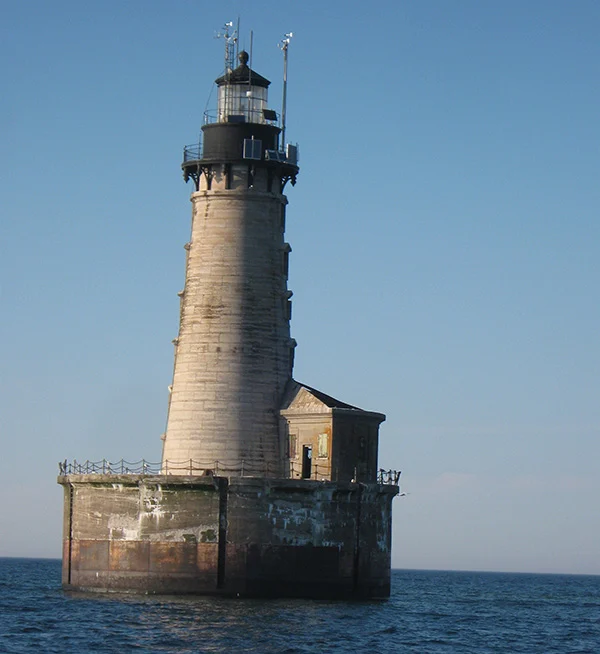
Stannard Rock Lighthouse, Lake Superior
Sonar technology to measure depths has only been available for 50 years or so and GPS technology wasn’t widely available until the mid-1980s. Until then soundings were taken the old fashioned way – basically lowering a weight on the end of a cable. Vectoring positions required triangulating off of known shoreline features (if shore was visible), using sextants or perhaps directional radio signals. Realistically, most areas hazardous to navigation, such as the Superior Shoals about 50 miles north of Copper Harbor, Michigan were found the really old fashioned way – by boats or ships running into them.
The technology to map vast areas of the lake at a relatively high-resolution now exists. Underwater topography, with equipment capable of detecting shipwrecks, pipelines, significant boulders, or rocky outcrops can easily produce charts over large areas with soundings taken less than 10 meters apart, much less in zones with prominent features.
An international partnership between a non-governmental organization in Ontario called Waterlution, and Northwestern Michigan College is using this hi-tech equipment to bridge this information gap. As the project progresses the knowledge of the depth, shape, and composition of the bottoms of the Great Lakes will provide foundational data elements necessary to better understand, sustainably develop, conserve, and manage coastal and offshore natural resources.